January 1, 2014
A seventy-mile drive through nine villages in the Cotswolds. No GPS this time, just a good old-fashion road map. I must say, I - the navigator - did fairly well. Missed a few turns here and there, took slightly longer than expected, but we managed to check all nine villages on our map.
There was a certain excitement and satisfaction each time we arrived at a village, it was like a treasure hunt, picking up clues along the way - granted the signage were clear. I will admit though that I was tempted to use Google Maps, I say tempted not because I was determined to decipher the map myself, but because Google Maps failed us - there was no signal.
And that is why print will never become obsolete. Not for hard copy road maps anyway.
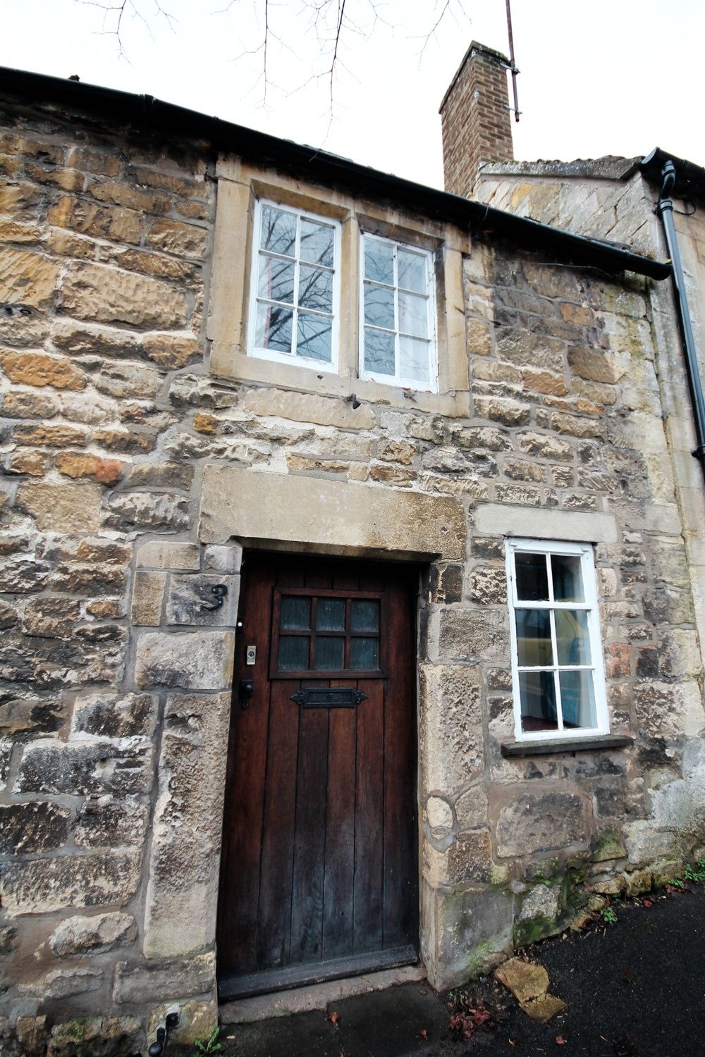
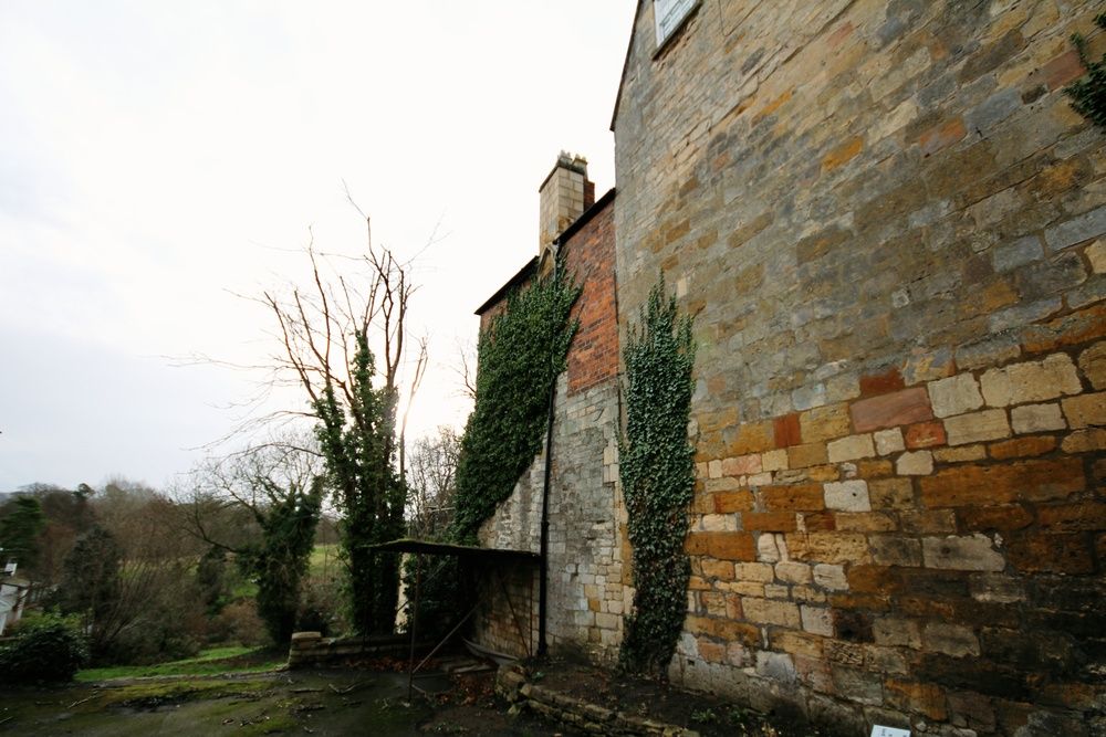

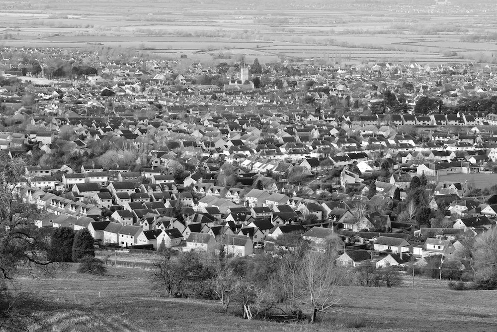
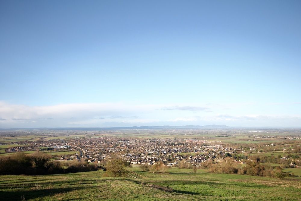
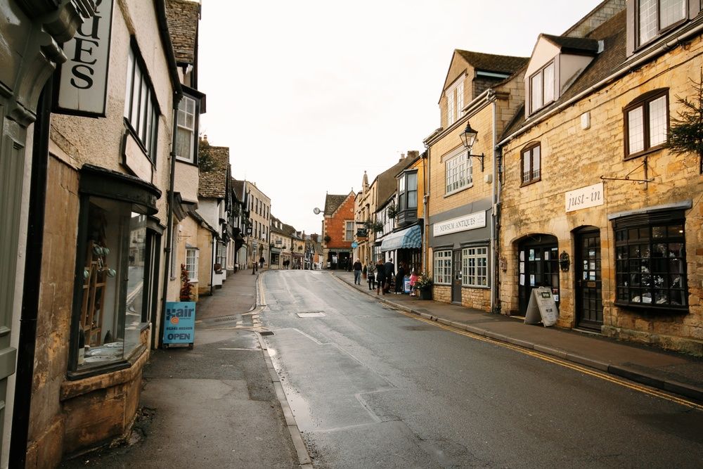
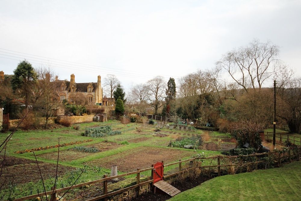
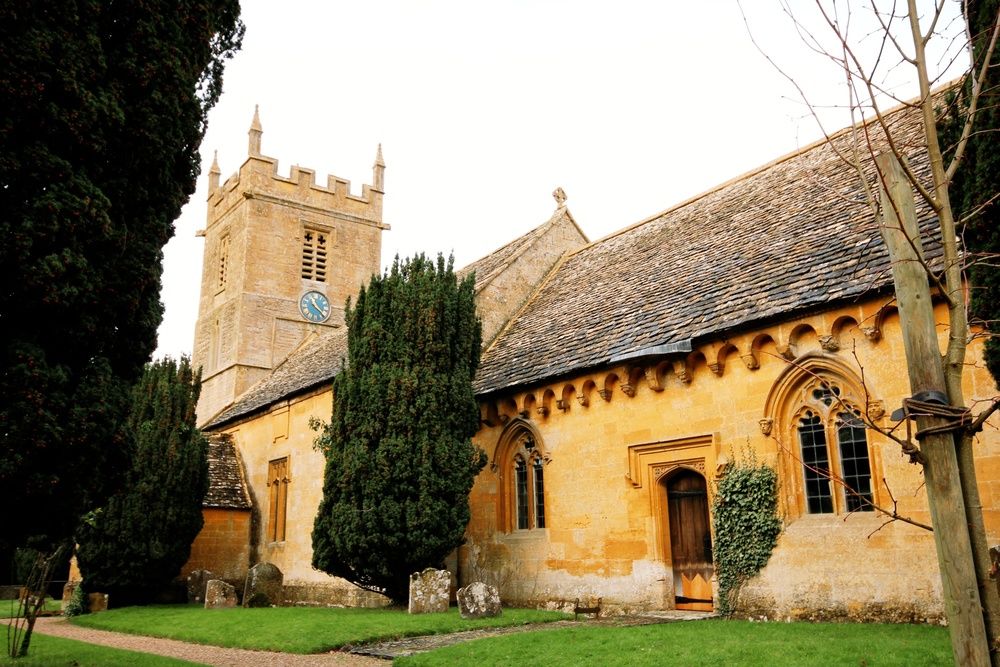
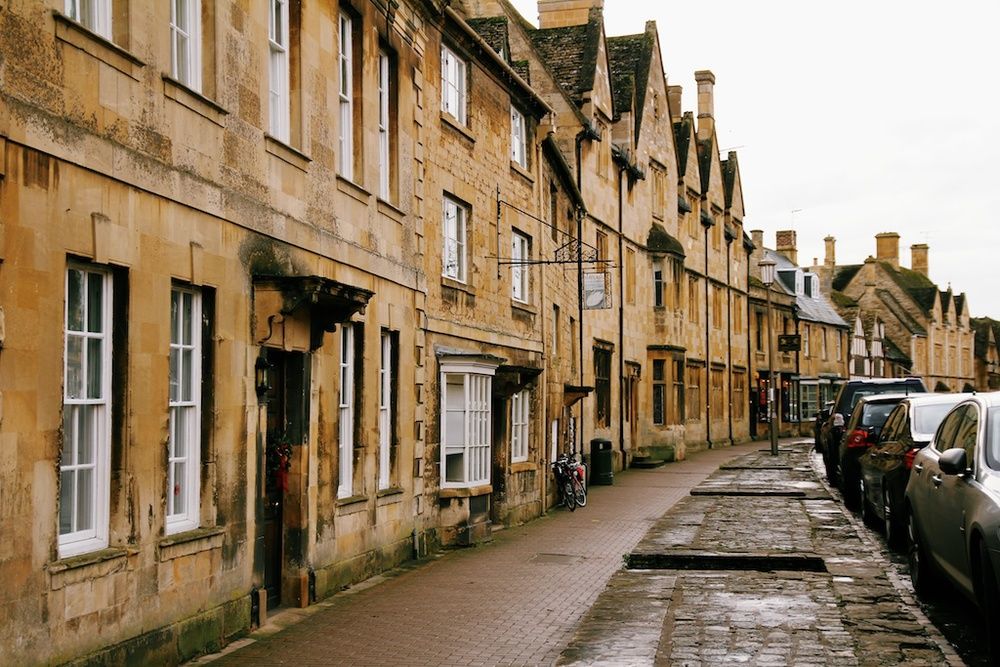
After passing through a few villages, we then realised that they were all the same. Narrow streets lined with ancient stone buildings, tiny cottages - exactly like those we read in the fairytales - views overlooking flatlands, farms and sheeps. If it weren't for the cars parked by the side of the road, you'd think you're on the set of a period drama.


We left Cheltenham and drove towards Winchcombe, then onto Stanway and Stanton. After Stanton, we continued onto Broadway where we got lost because we weren't sure if we were passing through the lavender fields (not so easy to spot when they are not in season) and then we were meant to come to a road that "bears to the right" but we were to "take the left fork that heads downhill to the village..." Not sure if we took the right way but we made it to the next village, Chipping Campden, anyhow. And then it was Blockley, Moreton-in-Marsh, Stow-on-the-Wold and finally, the Slaughters. By the time we got to the Slaughters, we lost the sun; very thankful for a rainless day, nonetheless.